Sarajevo Ottoman Austro-Hungarian and the Siege That Shaped It
Sarajevo is not a slogan—the exact line in Baščaršija where Ottoman meets Austro-Hungarian, and how the siege layered a third identity onto the city.
- Flag
-
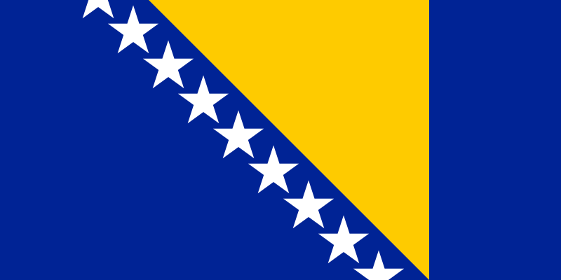
- ISO code
- BA
- Population
- 696,731
- Currency
- BAM
- Timezone
- Europe/Sarajevo
Walking the Line Where Ottoman Bricks Meet Habsburg Stone
Most visitors arrive in Sarajevo repeating a phrase they have read online: a city where two worlds collide. They have heard it so often it has lost its meaning. The phrase is true but lazy. It tells you nothing about how to see it, where to stand, or what to touch. Sarajevo gives you the physical evidence. Walk the exact line where an Ottoman caravanserai becomes a Habsburg-era facade. Stand at the pavement on Latin Bridge that marks the architectural boundary between two empires. See the Gazi Husrev-beg Mosque and the Sacred Heart Cathedral four minutes apart on foot. And understand how the siege of the 1990s, a third force, layered itself onto a city already negotiating two.
Start in the Old Bazaar
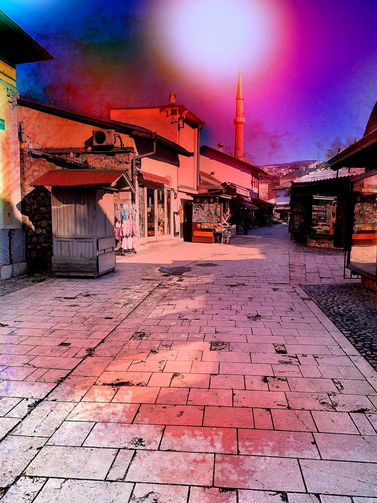
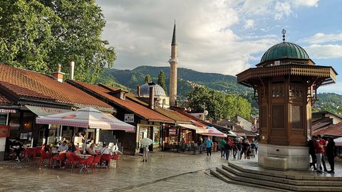
Begin at Baščaršija, the Ottoman quarter whose name means main marketplace. The street pattern alone tells you which empire built it: narrow lanes that dead-end into small squares, designed for foot traffic and donkey carts, not carriages or military parades. The 1461 founding of the city under Ottoman rule gave Sarajevo its commercial logic. The copper bazaar still operates here. The Gazi Husrev-beg Mosque, completed in 1531, anchors the quarter with its single dome and slim minaret. Buy a Bosnian coffee from a nearby kafana. It arrives on a copper tray with a džezva, an empty cup, sugar cubes, and a glass of water. The ritual matters: you pour it yourself. The 2024 price for that coffee in Baščaršija ran between 2.00 and 3.00 BAM. Pay with the local currency, the convertible mark, pegged at 1 EUR equals 1.95583 BAM.
Cross the Invisible Border
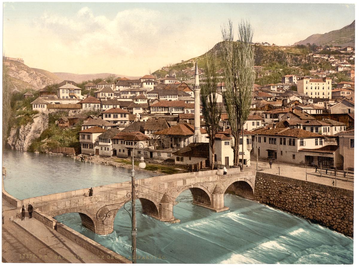
Walk east from the mosque. The pavement changes. So do the windows. Habsburg rule after 1878 brought Secessionist facades with floral mouldings, symmetrical windows, and corner towers. The buildings get taller. The streets widen. You are crossing an invisible borderline that the architecture makes visible. The most precise way to see it is at Latin Bridge. The stone bridge itself predates both empires, but the line on the pavement at its north end marks the boundary between the two architectural zones. This is where Archduke Franz Ferdinand was assassinated on 28 June 1914. Between 1918 and 1993 the bridge was called Principov Most after his assassin. Now it is referred to by its old name. Stand on that line. One side looks like Istanbul. The other looks like Vienna.
Two Buildings, Four Minutes Apart
The Gazi Husrev-beg Mosque sits in Baščaršija. The Sacred Heart Cathedral, a neo-Gothic Catholic church completed in 1889 during the Habsburg administration, sits on a street just south of the main pedestrian zone. Walk from one to the other. It takes roughly four minutes through a narrow lane called Kovači. The contrast is not subtle. The mosque has a stone courtyard, a fountain for ablutions, and a single calligraphic inscription band. The cathedral has twin spires, a rose window, and a stonework precisely carved by craftsmen from Central Europe. Sarajevo holds both within a single walkable radius. That proximity is not an accident of tourism. It is the city's political and cultural logic made visible in stone.

The Siege as a Third Layer
On 5 April 1992 the siege of Sarajevo began. It ended on 29 February 1996 after 1,425 days. No European city since World War II had endured anything comparable. The siege did not erase the Ottoman and Habsburg layers. It added a third layer on top of them. You see it in the Sarajevo roses. These are concrete scars from mortar shell explosions, filled with red resin. Approximately 200 are marked across the city. They are not memorials to stand at and photograph. They are evidence. They show you where shells landed on streets whose paving stones were laid by Habsburg engineers and whose market squares were designed by Ottoman planners.
The Tunnel That Fed a City
The War Tunnel Museum at Tuneli 1 preserves 20 metres of the original 800 metre tunnel that ran under the airport runway, connecting the besieged city to free territory. The 2024 entrance fee was 10 BAM. Book a guided tour or go without one. The tunnel section is short and the exhibits are explanatory. You will see the shallow trench, the low ceiling, the rail tracks used to move food and weapons. This is not a museum about two empires. It is a museum about a city that survived a third force.
The Abandoned Bobsleigh Track
The 1984 Winter Olympics on Trebević mountain gave the city a brief moment of international visibility. The bobsleigh track, 1,300 metres long with a vertical drop of 126 metres, now sits abandoned and covered in graffiti. Walk it. The concrete is cracked. The forest has reclaimed the edges. It is a pilgrimage site for two kinds of traveller: the architecture buff who wants to see modernist sporting infrastructure decay in real time, and the history traveller who understands that the siege began only eight years after the closing ceremony. The Olympics were not a golden age. They were a prelude.
How to See it in Three Days
Three full days is the minimum. No less. Devote day one to Baščaršija, the mosques, and the Latin Bridge architectural boundary. Arrive before 09:00 at the Gazi Husrev-beg Mosque; by 10:00 the courtyard fills with tour groups. Day two goes to the hills. Take the cable car from the centre to Trebević and walk the bobsleigh track. The views over the city are the ones that matter: from above you see how the old quarter hugs the valley floor while the Habsburg buildings climb the slopes.
Day Three: The Tunnel and the Facades
Day three is for the War Tunnel Museum. Take the tram to the Ilidža district, then a short taxi ride or bus to Tuneli 1. The museum takes 90 minutes including the walk through the preserved section. Spend the rest of the afternoon in the Habsburg-era stretches around the parliament building and Marijin Dvor. Look at the facades. They are not in perfect condition. That is the point. Sarajevo is not a restored theme park. It is a lived city where the architecture of two empires and one siege all show their age.
Three Centuries in Ten Metres
The most direct connection between the empires and the siege is at the Sarajevo roses near the Markale market. The market was hit twice during the siege. The market building itself is Habsburg. The paving stones beneath it are Ottoman. The rose in the pavement is from the 1990s. You are standing on three centuries divided by ten metres. In Sarajevo the pavement tells a story of empires and endurance, while in Leiden the canals tell one of trade and a university that shaped the town.

Eat and Drink the Evidence
Food in Sarajevo follows the same stacking logic as the architecture. Order ćevapi at a grill house in Baščaršija. A portion of 10 pieces cost between 6.00 and 10.00 BAM in 2024. It arrives on a flatbread with raw onions. This is food from the Ottoman centuries, adapted through time. Order a Bosnian coffee after it. The coffee ritual is old. The sugar cubes are wrapped in paper from the Habsburg era. The copper tray is handmade in the same bazaar that has operated on that spot since the 16th century.
Save one evening for a restaurant in the Habsburg district. The menu shifts. You get schnitzel, strudel, and wine from Herzegovina. The two culinary traditions rarely mix in a single dish but they sit on the same table. That is Sarajevo. You do not need a slogan. You need a map, a coffee, and the willingness to walk the exact line where two empires stopped and a siege began.
Common Questions
Where is the exact spot where Ottoman architecture ends and Austro-Hungarian architecture begins?
The line is marked on the pavement at the north end of Latin Bridge. The stone bridge itself is old, but the painted or inlaid line on the ground indicates the boundary between the two architectural zones. Stand on it. The buildings to the south are the Ottoman-era Baščaršija. The buildings to the north carry Secessionist details from the Habsburg period.
How far apart are the Gazi Husrev-beg Mosque and the Sacred Heart Cathedral?
The walk takes approximately four minutes through the lane called Kovači. The route is short and direct. The two buildings are not visible from each other, but the architectural contrast is immediate the moment you arrive at either one.
Can I walk the abandoned Olympic bobsleigh track?
Yes. Take the cable car from the city centre up to Trebević mountain. The track is 1,300 metres long with a vertical drop of 126 metres. It is not maintained. Wear sturdy shoes. The concrete is cracked and the surface is uneven. The graffiti is extensive and forms part of the experience.
How long does the War Tunnel Museum take, and what is the 2024 entrance fee?
The museum takes about 90 minutes. The preserved tunnel section open to the public is 20 metres of the original 800 metres. The 2024 adult entrance fee was 10 BAM. Check the official source for the current rate before you go, as the figure is revised annually.
What is a Sarajevo rose, and how many are there?
A Sarajevo rose is a concrete scar left by a mortar shell explosion, filled with red resin. Approximately 200 are marked across the city. They are not memorials in the traditional sense. They are the original impact sites, preserved as they were. The most visible one is located near the Markale market.
Read next
-
 Bosnia and Herzegovina Travel Guide: Sarajevo, Mostar and the War That Is Still Visible
Navigate Bosnia and Herzegovina's layered history from Ottoman-era bazaars and Austro-Hungarian boulevards to the siege scars still visible on Sarajevo's streets.
Bosnia and Herzegovina Travel Guide: Sarajevo, Mostar and the War That Is Still Visible
Navigate Bosnia and Herzegovina's layered history from Ottoman-era bazaars and Austro-Hungarian boulevards to the siege scars still visible on Sarajevo's streets.
-
 A Week in Marseille Beyond the Vieux-Port — Neighborhoods Worth Knowing
Most visitors never leave the harbor. This guide covers four Marseille neighborhoods worth a week of your time, with real prices from spring 2024.
A Week in Marseille Beyond the Vieux-Port — Neighborhoods Worth Knowing
Most visitors never leave the harbor. This guide covers four Marseille neighborhoods worth a week of your time, with real prices from spring 2024.
-
 Albania by Furgon and Coastal Ferry for Independent Travelers
A practical overland guide to Albania by local furgon and Adriatic ferry — real logistics on stations, small-town accommodation, and staying connected.
Albania by Furgon and Coastal Ferry for Independent Travelers
A practical overland guide to Albania by local furgon and Adriatic ferry — real logistics on stations, small-town accommodation, and staying connected.